
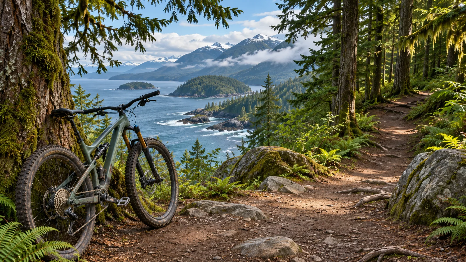
Snowden Demonstration Forest is a mountain biking area west of Campbell River. Start by choosing one parking area and a route that suits the rider with the least experience. Lost Lake, Riley Lake and Lost Frog appear as separate starts on the provincial map. Use the local trail steward’s updates to see what has changed since that map, and check forest road conditions before you set out. Recreation Sites and Trails BC Snowden map · River City Cycle Club trail information
Choose a trailhead before choosing a distance
For the Lost Lake parking area, the provincial map directs you west on Highway 28, then via Brewster Lake Road and Loveland Bay Road. Check the current road and any posted access restrictions. Save the parking area as a separate map location. A search for a lake or a trail with the same name can take you to a different point from the lot. River City Cycle Club identifies shelters at the Lost Lake and Riley Lake lots, which can help when agreeing on a place to meet.
If you’re choosing between Lost Lake and Riley Lake, compare the first two trails you would ride from each lot. Work out how far you need to go before you reach the part you came to ride. Find a clear way back to the same parking area. The best lot for a particular loop is the one that lets your group get to and from the trails it can comfortably ride. A separate Lost Frog start may make sense if that side of the network is your focus.
If you’re meeting other riders, share the name of the lot and the road you’ll use to reach it. Give everyone a chance to download the same route information before leaving town. Decide whether a late arrival will wait at the parking area or meet you later. A junction can be hard to find if someone is visiting for the first time, so use a named trail or parking area for a meeting.
Build a first ride with a clear return
The provincial map provides difficulty categories and an overview of the forest, including lakes, junctions and gates. It was prepared before more recent work on bridges, trail surfaces and reroutes reported by River City Cycle Club. Use it for orientation and check the latest local information for individual trails. Compare the ride direction, difficulty and any connecting segments. A loop can change character if you add one harder link between two easier routes.
For a first visit, plan a short ride with one optional extension. Look at the climbs and descents as well as total distance. On the outward section, check how the bike and tyres feel on the actual ground. If a feature is beyond what you’re comfortable riding, dismount where there’s room and check whether it makes sense to continue. Make that decision before you commit to a longer return.
For more experienced riders, pick the trail you most want to ride and use the rest of the loop to get there and back. Decide in advance which piece you can drop if a closure changes the route. Check if the steeper section comes late in the ride, when the group will have less energy. Tell everyone the intended difficulty and what to expect at key junctions. A route that works for a group on its first morning may be too long after a second day of riding.
Check adaptive access for the bike and rider
River City Cycle Club identifies Tres Hombres as Snowden’s first adaptive trail and part of an adaptive loop it describes as 14 kilometres. Start with that information and confirm the current route, including the approach from the lot. Ask about width, gradient, passing space, surface and the types of bikes that can use the features. If you will need a particular turning radius, transfer space or unloading arrangement, include that in the question.
Look at the connectors as carefully as the adaptive segment. A route can include an easy section and a steeper or narrower approach. Check whether the route can be shortened without using a difficult segment. If you’re riding with someone who provides assistance, agree how you’ll communicate and where you can stop to regroup. Ask the steward about current trail changes or obstructions when those details will affect whether you can complete the ride.
Allow for changes in a working forest
The provincial map describes Snowden as a working forest managed by BC Timber Sales. Follow signs for industrial activity, gates and access. Check recent notices and do the same for the road you plan to drive. The province’s resource road guidance covers issues including industrial traffic, rough surfaces, blind corners and changing road conditions. Give yourself time to drive to the lot and keep the return plan flexible. B.C. resource road safety
On the trail, follow posted closures, directions and permitted uses. If you reach a blocked route, return by an open trail you’ve checked. Avoid creating a line around obstacles or waterlogged ground. A short ride on sound trails can be a better way to spend the day than a longer ride through sections that are vulnerable to damage. The local club’s trail information is also a way to learn who is maintaining the routes and what improvements have recently been made.
Snowden and the Elk Falls Pumphouse trails are related riding areas with separate access considerations. BC Parks describes access to the Pumphouse network from near the water tower uphill of the logging road bridge. If you’re planning a route that includes both areas, check the relevant trail and land manager information for each part. If you want to ride with an electric-assist or adaptive cycle, verify that the specific trail and equipment are permitted where you’ll ride. BC Parks Elk Falls cycling information
Give yourself room for a flat, a change in weather or a missed turn
Bring the basic equipment you know how to use for your bike, a map that works without reception, water and layers. Check the bike at the lot and identify the route you’d take back if something breaks. Tell someone the parking area, intended route and expected time out. If you’re unfamiliar with the network, a loop that stays near a start can give you a useful first ride and simpler options if you have to shorten it.
Ride at a pace that lets you see what’s ahead, especially on trails with hikers or other riders. Give people room when passing, and check who is behind you before stopping at a feature. If you plan to try a section again, move out of the way while looking at it and follow any trail direction signs. Check the route before following someone who appears to be going the same way. They may be riding a different loop.
Choose an endpoint before you leave. If a rider gets cold or tired, use the shortest route you’ve verified to return to the lot. If there’s plenty of daylight and everyone wants more riding, stop at the parking area to check conditions before choosing another short segment. Refill water or change a layer while you’re there. That gives each person a chance to decide whether to continue.
Put the ride and a wildlife trip on the same itinerary
Plan the forest ride for a day when you can allow time for road access and a change of route. Eagle Eye Adventures offers a four-hour marine wildlife tour from Campbell River. If you want to do both, check the boat’s meeting point and check-in details before putting a ride on the same day. Leave enough time to drive back, secure the bikes and change after the ride. A separate day for the tour gives you more room if the trail you want takes longer to reach. Eagle Eye Adventures marine wildlife tour · Eagle Eye Adventures contact and location
Which trailhead should I use on my first visit?
Choose the lot closest to a short route at your ability. Lost Lake and Riley Lake are two named parking areas with shelters according to the local club. Check the directions, trail difficulty and return to the parking area before making a choice.
Can I pick a route from the older trail map?
Use the map to learn where the roads, parking and lakes sit, then verify the individual trails before riding. The club documents newer work and the conditions or posted signs may affect access. Use the information that applies to your planned day.
Compare a short first ride with a longer loop
Suppose you’re visiting with two friends and one has only ridden easy local trails. Use the available maps to identify a short route near one parking area with a simple return. Look at the individual trail ratings and any reports from the past few days. Decide which junction will be the first place to reassess. If everyone is comfortable there, you can add the extension you’ve already checked. If the first part felt slow or technical, return to the lot and use the remaining time to try a different easy stretch. A shorter first ride gives you firsthand information before you select a harder line the next day. River City Cycle Club mountain biking information · River City Cycle Club trail maps and downloads
If you have a group of experienced riders who want a longer route, give each person the option of a shorter return. Choose a main loop and check where a clear return branches from it. At each junction, make sure the last rider knows whether the group is stopping or continuing. If you’re using more than one lot, agree where the cars and spare equipment are before you leave. The names of nearby lakes are useful for orientation, but use trail names and the current map when you agree where to meet.
Factor the road and the parking into the day
After choosing a lot, check the route back to Highway 28 and look for any changes on the day. Leave room for a slower drive if the gravel is rough, and check that your rack and bikes are secure before travelling. If you’re renting a vehicle, confirm how the rental agreement treats the road and whether you can use the rack. Give the other passengers a chance to help with navigation and keep directions where you can reach them if reception changes.
At the lot, choose a place to unload that leaves access for other drivers and riders. Keep tools and bags together so they’re easy to find after the ride. For a full day, work out where the group will get lunch, refill water or change clothes. Ask about services before relying on them. River City Cycle Club reports shelters at Riley Lake and Lost Lake. A shelter gives you somewhere to pause, while your own water, tools and layers give you what you need to go out again.
If you’re returning to the same area the following day, note which junctions and sections suited the group and which ones took more time than expected. Use those notes and the current trail information to choose the next route. A different starting point can let you see another part of the forest without repeating the longest connection from the previous day.
If you want to revisit a feature, note its trail name and direction rather than relying on a pin alone. Check whether it sits on a longer stretch you can ride comfortably. Pick a route that lets you approach it legally, see it before committing and continue to an open junction with a clear way home.