
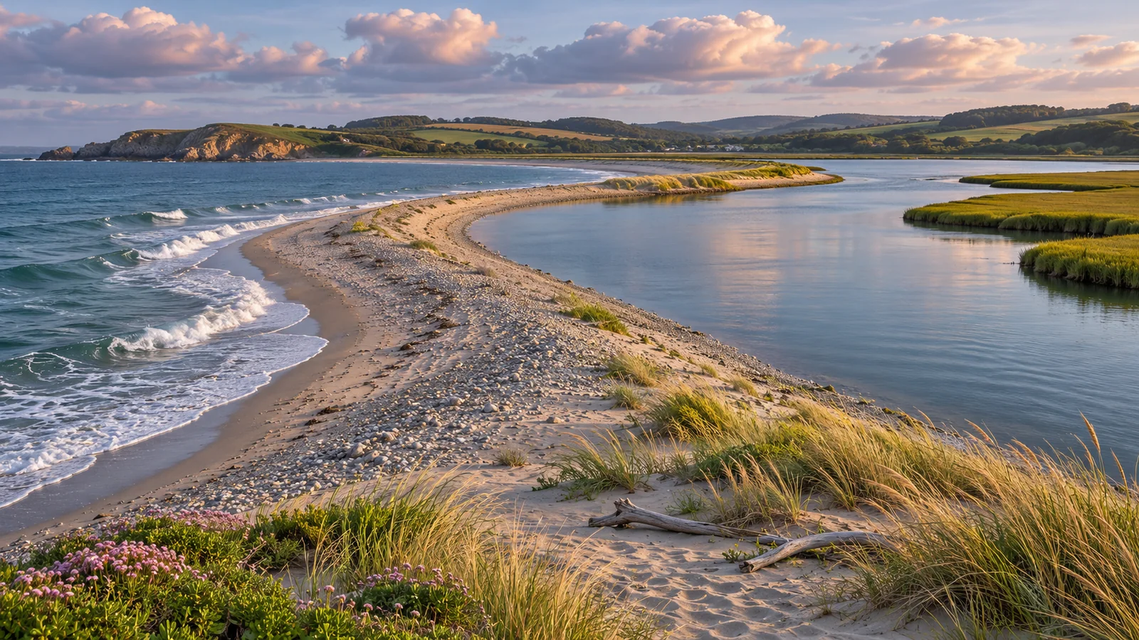
Start at Dick Murphy Park on Spit Road to explore Tyee Spit, also called ʔuxstalis. The park sits between the Campbell River estuary and Discovery Passage. Use the paved path for a short out-and-back and stop to look across the two different stretches of water. The park works for a picnic or time with children, and the history of the spit adds context to what you see. City of Campbell River Dick Murphy Park · City of Campbell River Tyee Spit history
Follow Spit Road to the public park
Use the named park and the city’s map for directions. The municipal park page lists Dick Murphy Park at 3200 Spit Road. The spit includes other destinations along the road, so confirm which car park or meeting point your group needs. If you’re arriving on foot or by bicycle, check the whole route to the park, including road access and crossings. The paths within the park give you one part of the journey. If you’re travelling by bus, verify the stops and walking connections in the current schedule. City of Campbell River parks map · BC Transit Campbell River schedules and maps
The city lists trails or walkways, beach access, picnic tables or benches, a playground and washrooms. Its 2008 accessibility audit describes the main shared path through the park as hard surfaced and identifies a steep section on a dirt spur towards the beach. Choose the paved route if your group wants an easier surface. If a particular parking space, washroom, grade or beach approach matters, ask the city for current information before visiting. City of Campbell River parks accessibility audit
If you’re meeting for lunch or a walk, pick an entrance or bench where you can recognise one another. Give directions to the specific park and choose a time to regroup if part of the group wants a longer walk. Park facilities make it possible to see the shore with a short stroll and then spend more of the visit sitting or talking.
See how the estuary and Discovery Passage differ
On the passage side, look across the wider water and see how the view changes as you follow the curve of the shore. The width of the channel, the traffic and the wind may draw your attention farther from land. Take a little time to watch from a fixed place. Changing light or a boat passing through can reveal motion you miss when you’re walking. Step to one side if you stop to take a picture or use binoculars.
On the estuary side, look closer to the shore. The mouth of the Campbell River gives you a different view, especially if the tide has exposed a margin of wet ground or made the line of the bank easier to see. Take time to notice where birds are feeding or resting. The most useful view might be a place you’ve already walked past. Give birds and other animals room and keep to the path or established beach access.
Compare the two views with children by asking them to look for the same thing on each side. Try noticing birds near shore, the direction of waves, or the kinds of boats they can see. Come back after a change in tide if you want to see what looks different. Use Canadian Hydrographic Service information for the appropriate station and pay attention to local conditions. For a casual first visit, you can enjoy both views from the path without planning to go onto the beach. Canadian Hydrographic Service tides and currents
Read the history from Wei Wai Kum First Nation
Wei Wai Kum First Nation identifies ʔuxstalis as ancestral land. Its land use plan describes a large Wei Wai Kum settlement at the northern end of the spit and records the community’s displacement south in the 1920s in connection with an agreement involving Indian Affairs and the International Timber Company. The Nation says the displacement is unresolved. Read the Nation’s account when planning a visit or take a few minutes to read it while you’re there. Wei Wai Kum First Nation land use plan
The Nation has also published its position on the original surrender and its desire for the return of ʔuxstalis. It explains why Elders question the transaction and why returning the land matters to the community. The city’s history page provides additional local context and uses the name ʔuxstalis. Knowing the name and who has a living connection to the spit can make the walk more meaningful than seeing it solely as a park on a map. Wei Wai Kum First Nation statement on ʔuxstalis
Follow public access signs when you explore. Some facilities and adjoining spaces have a different purpose from the park. If you’re stopping to read or talk about what you’ve learned, use a bench or wider area where the group can stay clear of the path. You can use the city map to identify the boundary of the park and keep your outing to public areas.
Decide how to spend your time at Dick Murphy Park
For a brief visit, walk from the parking area to one waterfront view and return. Pick the side that feels comfortable in the wind and save the other view if you come back. For a longer walk, use the path to compare both sides of the spit. Use the playground or a picnic as the main stop if you’re travelling with children. Agree where you’ll meet after a brief walk if part of the group stays with the food or gear.
If you’re there for birds or photos, choose one place where you can wait for several minutes. Bring binoculars for distant activity and keep space around any animal that comes closer. A quiet spot with room to watch can be more useful than walking the whole path. Try a second viewpoint if wind or glare is making it hard to see. If the light stays flat, look at shapes in the water and along the land rather than waiting for a particular animal to appear.
If you’re walking a dog, check municipal rules and posted signs before you go and keep the dog close where the path is shared. Give people using benches or the playground enough room to enjoy the park. Near the estuary, keep a dog away from birds and check whether the beach access is suitable for the group. The paved walk gives you a straightforward alternative when the shore is muddy or crowded. City of Campbell River dog rules
Plan a separate look at the water from a boat
If you want to spend more time on Discovery Passage and the waters around the islands, Eagle Eye Adventures offers a four-hour marine wildlife tour from Campbell River. Its office is at Coast Marina. Give yourself time to get there from the spit and follow the instructions for your specific booking. A park visit can give you an idea of the geography before the boat trip or a quiet shore stop afterwards. Eagle Eye Adventures four-hour marine wildlife tour · Eagle Eye Adventures contact and location
For a morning trip on the boat, keep the park for an afternoon when you have time for lunch and a walk. For a later tour, a brief visit to the spit can work before check-in if you know how you’ll get to the office and where you’ll park. Remember that a windy visit at the park may leave you wanting a dry layer before you board. Bring what the operator asks you to wear and keep a few minutes free to get ready. Eagle Eye Adventures frequently asked questions
Work out the plan for your own group
A visitor with half an hour may only want to see how the river meets the passage. Start by looking towards one side and use the rest of the time to walk as far as suits you. If you have a full afternoon, bring lunch and spend some time with the Nation’s account of the site before walking both shores. For people who want to spend more time watching wildlife, choose an observation point and allow other activities to fit around it. A picnic group may prefer a shorter walk and a longer meal.
Someone who is arriving from out of town may have a limited window before a ferry or other booking. Check how much time the onward trip takes and choose when to leave the park before you start walking. If the next stop is downtown, the city visitor map will help you plan the route from Spit Road. Save the next destination by name. If you expect a meal stop too, choose whether to eat first or keep your food with you. Either choice can give you a longer visit without feeling rushed. City of Campbell River visitor map
Is the park suitable for a short walk with limited mobility?
The city’s 2008 audit describes a paved main path and a steeper dirt spur down to the beach. Confirm the facilities and access you’ll need, then choose a route from the car park that uses the main path. Set a turnaround near a bench or the first view if you want to keep the distance brief.
Are Tyee Spit and Dick Murphy Park the same place?
The spit is the landform beside the mouth of the Campbell River. Dick Murphy Park is the city park on the spit and a useful public starting point for your walk. Look for the park listing when you need directions or facilities and read Wei Wai Kum First Nation’s account for the larger history of ʔuxstalis.
Take a closer look at the river mouth
An estuary gives you a chance to watch how a river and the sea share the same space. From the path, look for where the river’s surface meets the broader passage and see whether you can distinguish a seam, changes in colour or different surface movement. The appearance will vary with weather and tide. Look again after you’ve walked a little farther. If you visit at a different point in the tide cycle, compare how much of the shore is exposed and how that changes the distance from the path to the water.
When looking for birds, scan from the bank outward. Start with nearby quiet water where a bird may be easier to track, then scan the far shore or the passage. Note the time, weather and tide stage if you like to keep a record. Give a bird space to feed without moving towards it. If it disappears behind a change in the bank or tide line, wait in the same place and look for other activity. A return visit with different light or weather can help you understand where the birds were spending time.
Plan for an open, exposed shoreline
For a longer visit, bring a drink and a windproof layer you can put on while sitting. Use the first few minutes to decide where to spend the rest of your time. If your group is picnicking, check whether a bench or table is available and keep loose packaging from blowing away. Bring your own food if your timing is tight. A place that works for a short photo stop might be less comfortable for a meal with people sitting still.
After rain, the main paved path can be the easiest option. If a passenger needs a dry place to change footwear or store a mobility device, plan that before walking away from the car. On a bright day with the wind up, go out far enough to enjoy the view and then come back to a sheltered spot for the rest of your break. Keep the beach spur optional so that the whole group has a route back together.
A spare layer in the car can be enough for a shorter visit.