
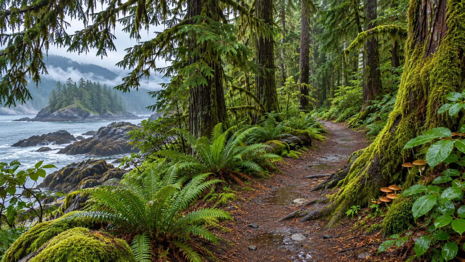
For a first walk in Campbell River’s Beaver Lodge Forest Lands, choose a signed out-and-back on the Rail Trail or a short route from the Trask Road or South McPhedran Road parking area. The province identifies wheelchair-accessible trails from those two lots. The forest has many connections, so use the map to choose a start, a turnaround and any side trail before you leave the car. Province of British Columbia Beaver Lodge Forest Lands · City of Campbell River Beaver Lodge map
Match your starting point to the walk
Trask Road is a useful place to begin if you want to enter the northern part of the network. Look for the public lot on the map near Merecroft Road. From there, decide whether you want a brief walk with a clear return or have time for a longer route. For a first visit, note the name of the path you enter and what the first junction looks like from both directions. On the way back, you’ll be approaching it from the opposite side.
South McPhedran Road gives you another northern approach. The city map shows a public parking area and routes near Beaver Pond Trail. Use the map and the current signs to decide how much of the area to cover. If your group needs a particular surface or grade, confirm what the approach from the car park is like. Check where the wheelchair-accessible segments end and choose a return before a section that would be difficult.
For an entrance elsewhere in the network, compare the mapped trails with the road you’ll arrive from. A person on foot may choose a different entrance from someone driving to a public lot. If you plan to get there by bus, check the stop and the walk from it. Use the trail map for the forest route and a current city or transit map for the approach. City of Campbell River maps · BC Transit Campbell River schedules and maps
Use the Rail Trail for a straightforward first walk
Destination Campbell River describes the Rail Trail as roughly three kilometres one way. A first visit can use just part of it, with a set time or a signed junction as the turnaround. Find the Rail Trail on the map before leaving and check the signs at the entrance you select. Use the return distance to decide when to stop. If the ground is wet or the group wants to pause to look at trees and water, cover a smaller section. Destination Campbell River 2026 visitor guide
If you want a longer walk, choose a named side trail and follow its connection on the map. Work out where you’ll rejoin the main route or turn back. Many branches look similar once you’re among the trees. Taking a moment to read the signs before making a turn can save time on the way out. Use the same approach with children by asking them to notice one landmark and recognise it on the return.
For a one-way outing, decide how everyone will reach the endpoint and how you’ll get back to your starting area. If you arrange a pickup, give the driver a road and meeting point rather than the general forest name. Check the time it takes to walk from the trail to the vehicle or bus stop. Bring what you need with you if the return plan involves a wait.
Look for Simms Creek and the restoration work
The forest lands are within the Simms Creek watershed. The Ministry of Forests and Greenways Land Trust have restored vegetation near the Simms Creek crossing on Norma’s Loop. The province asks visitors to respect signs and fencing around the plantings. If you want to see that area, locate Norma’s Loop on the map and plan the walk from your chosen entrance. Look at the streamside plants from the trail and note where the vegetation gets denser farther from the crossing.
A riparian zone is the land beside a stream. The province points to stream health, erosion control and fish and wildlife habitat as reasons to restore vegetation there. When you stop at a crossing, think about where the bank needs roots and cover and where the water spreads in wetter conditions. If you visit after rain, observe from the established path and give wet or damaged areas room. A crossing or stream view can be a destination of its own without adding a long loop.
The province lists Douglas-fir, grand fir, bigleaf maple and red alder among the trees on drier ground. It names western hemlock, western redcedar and Sitka spruce in wetter parts. Look for differences in the canopy and the plants closer to the ground as you walk. An identification guide can help if you want to identify individual trees. You can also compare how much light reaches the trail and how the ground changes from one part of the route to the next. Leave branches and plants where they grow.
Share the route and check trail conditions
Beaver Lodge is a multi-use area. The province lists walking, jogging, mountain biking and horseback riding among the uses. Give people space to pass and step to the side in a suitable place if you need to stop. Check for traffic before moving across the trail or letting children walk ahead. Keep dogs under control, clean up after them and follow signs. The province also asks visitors to keep to established trails, avoid disturbing streams and carry out what they bring.
After rain, allow extra time and choose footwear that suits the ground. If there’s standing water across a smaller route or a bridge is affected, use a clearly open alternative rather than making a new path through the vegetation. If an entrance or route sign differs from your saved map, use the information at the site. Keep the return straightforward if daylight is short. The trail network gives you enough options to shorten a walk without adding another branch.
The forest supports wildlife, and the province lists black bears and cougars among species that use the area. Read its current wildlife advice before you go and pay attention to signs. Keep food with you, keep pets under control and use another stretch of trail if an animal is using the area ahead. Give smaller wildlife space as well, including birds you see by water or in the trees.
Pair a forest walk with a day on the coast
The Beaver Lodge Forest Lands give you a different view of Campbell River from the waterfront. Eagle Eye Adventures offers a four-hour marine wildlife tour from Campbell River. If you have a boat booking, confirm the time and meeting point before you pick a forest route. A short forest walk can fit a clear window before or after the boat, while a route with side trails is easier to enjoy when you can take your time. Leave room to get from the entrance you chose to the marina. Eagle Eye Adventures four-hour marine wildlife tour · Eagle Eye Adventures location and contact
If you’re staying in town for several days, use the weather to choose when to spend time in the forest. A shaded walk may suit a warm day. A short route on well-drained ground may be easier after rain than a longer loop with more junctions. Save the route you want for the day it fits and keep a return time if you have another booking. Eagle Eye Adventures Campbell River visitor guide
Is the entire trail system wheelchair accessible?
The province identifies accessible trails from Trask Road and South McPhedran Road. Use the current map and ask about the exact stretch, parking approach and surface you’ll need. Make a plan for the accessible portion and choose your turnaround before another section changes grade or surface.
Is Beaver Pond Trail the same as the route at Elk Falls?
The Beaver Lodge map identifies a Beaver Pond Trail within the forest lands. BC Parks lists a Beaver Pond or Kingfisher Trail near Quinsam Campground in Elk Falls Park. Use the name of the forest or park along with the trail name so you reach the right entrance. BC Parks Elk Falls hiking trails
Compare two forest walks before you leave town
For a family that wants a gentle walk, start by choosing one northern parking area. Look at the map for a main path with a simple return and check how far you’ll need to go to reach the first point of interest. Pick that point as the first goal. If the group wants to continue once it gets there, choose a short extension while everyone is still comfortable. If someone would rather spend more time looking at a pond or stream, use a place with room to stand clear of the trail. A shorter route with one stop gives young children and adults time to see the same things together.
For a walk with someone who wants to cover more ground, consider a longer portion of the Rail Trail. Read the named crossings and junctions on the map so you can choose whether to continue straight or add a side route. If you add Norma’s Loop to see the stream restoration, check that it fits the route from your entrance. A person who wants to move steadily can take a shorter break at the crossing, while someone who wants to understand the project can plan the crossing as a destination. Choose based on what you want from the visit.
Look at the forest from the same place in different weather
Take time to notice what rain changes around a creek or a low section of trail. On a dry day, you may notice where the taller trees shade the route and where smaller plants have more light. After rain, the sound of the stream or the wet ground beside the path can draw attention to a different part of the same view. Observe from established surfaces. Looking at the same spot in two conditions can make it easier to see why streamside plants and undisturbed banks matter.
If you’re visiting with children, take a minute near a place where the group can stop out of the way. Ask them to listen for water or birds and then point out what they think they heard without going closer. Compare the amount of light in the trees near the path with the darker part of the forest. On the return, look again to see whether anything changed. An exercise like this can be the main part of a short outing even if the group only covers one stretch of the map.
Plan your return from the forest
Before walking away from the parking area, save the entrance and look at the route you want to use back to the main road. Keep the map at hand if you plan to leave the main path. If you’ve come with a group, agree to stop at each junction until everyone arrives. Pick a return time that leaves enough daylight and room for a short delay.
On a rainy visit, keep something dry in the car and decide when you’ll stop to change after the walk. If you have another booking afterwards, allow that time before estimating your departure from the forest.
A later visit can start from the other northern parking area so you can compare the approaches without connecting them on foot. Bring the same map and note which entrance is better for the surface, grade and distance your group prefers. If you’re sharing directions with a visitor, mark the actual parking area and a clear turnaround rather than circling the forest as a whole.