6 hours
1. Whale Watching & Coastal Wildlife Discovery
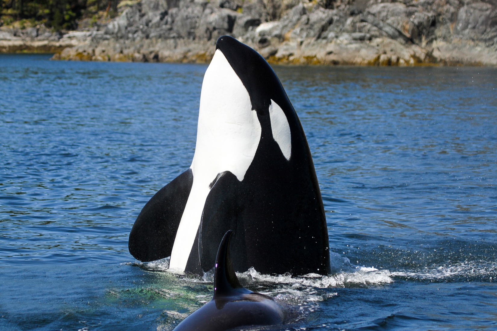
Travel through Discovery Passage and nearby coastal channels with a naturalist. Look for orcas, humpbacks and other marine wildlife along island shorelines.

Look for whales in Discovery Passage, cross the suspension bridge at Elk Falls or take the ferry to Quadra Island. This guide brings together wildlife tours, coastal landmarks, museums and day trips, with directions and visitor information.
Explore our tours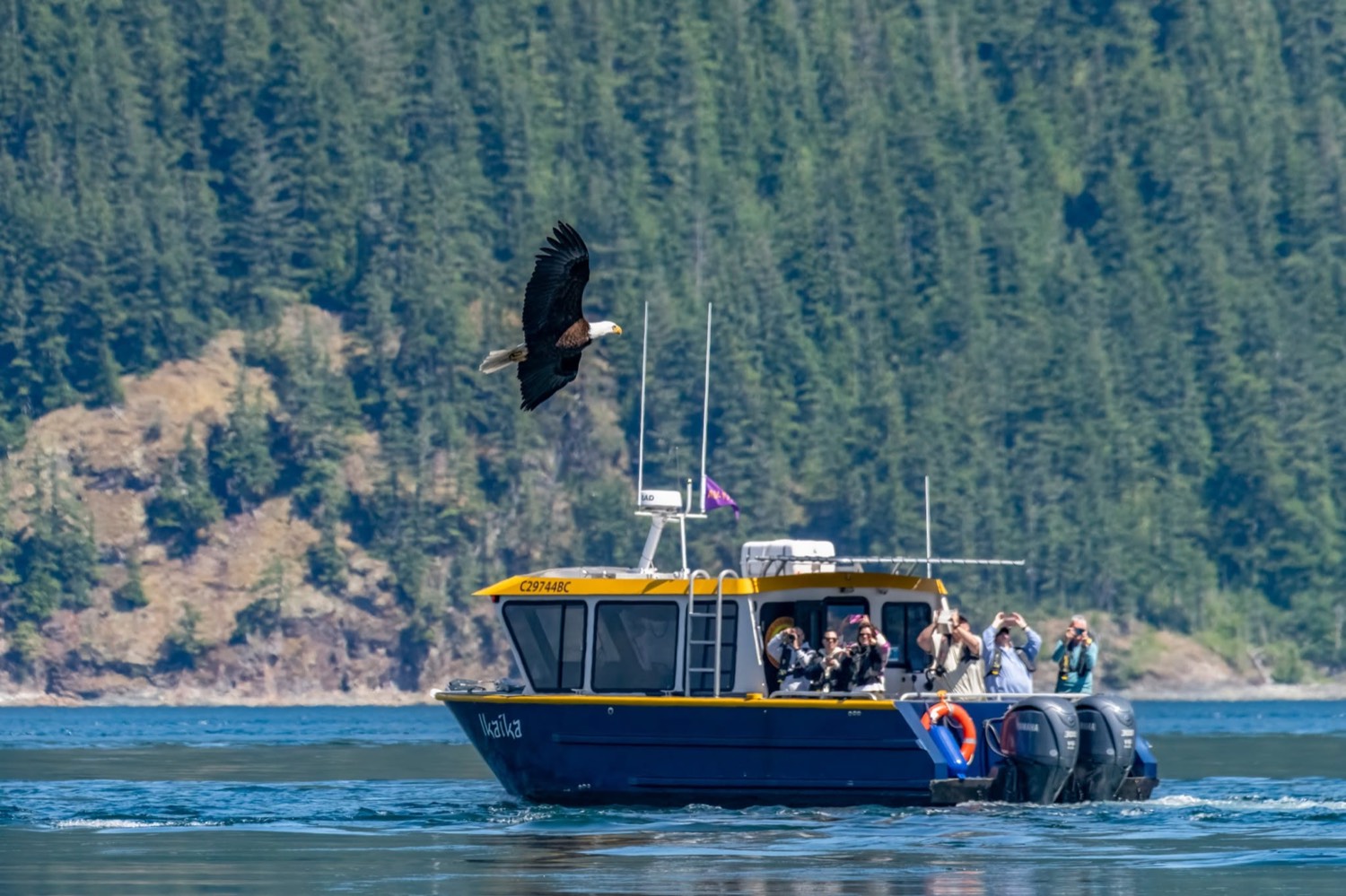
Explore Discovery Passage by boat or see the islands from a working mail plane. Check each tour page for departure dates, boat options and booking details.
Travel through Discovery Passage and nearby coastal channels with a naturalist. Look for orcas, humpbacks and other marine wildlife along island shorelines.

Explore Discovery Passage and the Discovery Islands on a four-hour trip with an onboard naturalist. It’s a shorter way to see the coast and look for whales, sea lions and seabirds.

Cruise to Toba Inlet and join Klahoose First Nation guides for shore-based grizzly viewing. Check departure dates for the late-summer and fall viewing season.

Head out on a trip timed around the tides and watch for bald eagles fishing where currents concentrate their prey. Bring binoculars for a closer look.

Spend two hours on Discovery Passage as the evening light changes over the islands. Watch for marine wildlife along the way.
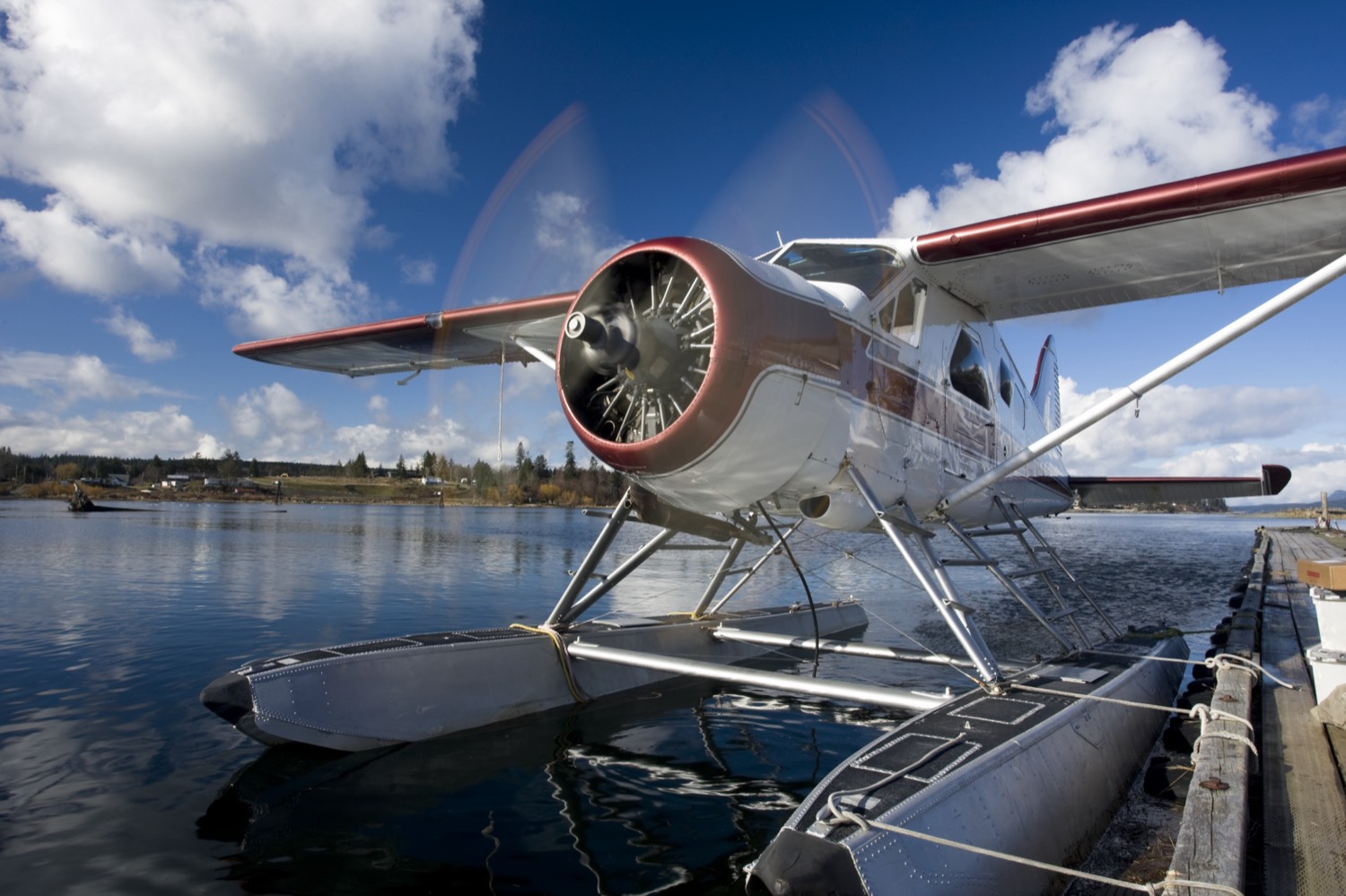
Join CorilAir on a working floatplane mail route through the Discovery Islands. On a separate day, explore the coast on a guided wildlife tour.
Book a boat and crew for your group. Plan the outing around wildlife watching, photography or time on the water together.
Follow the forest trail to a footbridge spanning the canyon near Elk Falls. Allow extra time for the stairs and the waterfall viewpoints.
From Campbell River, take Highway 28 west and turn onto Brewster Lake Road for the day-use parking lot.
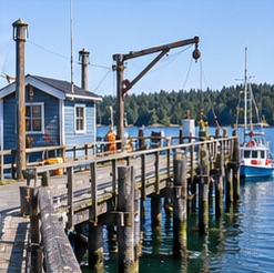
Walk out over Discovery Passage for a view of the working waterfront. Combine it with the aquarium or Maritime Heritage Centre nearby.
Find the pier on the downtown waterfront beside the Maritime Heritage Centre.
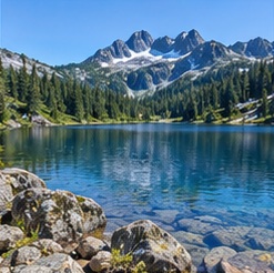
Spend a half or full day exploring the Buttle Lake corridor. Stop at the lakeshore or pick a short walk such as Lupin Falls.
Take Highway 28 west, then follow signs for Buttle Lake via Westmin Road.

Take the ferry for a day of coastal walks, cafés and island scenery. Visit Heriot Bay and leave time for Rebecca Spit or Cape Mudge.
Catch BC Ferries from downtown Campbell River to Quathiaski Cove. Check return sailings before setting out.
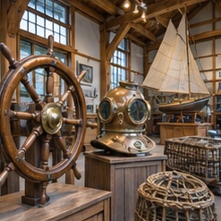
Explore exhibits on First Nations cultures, commercial fishing, forestry and the Ripple Rock explosion. It’s a good stop on a wet afternoon.
Visit the museum on the Island Highway near downtown.
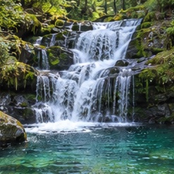
Watch Myra Creek tumble over rock shelves into a series of pools near the south end of Buttle Lake.
Take Highway 28 west and follow Westmin Road down the east side of Buttle Lake to the signed trailhead.
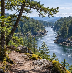
Hike through coastal forest to a bluff overlooking Seymour Narrows, where the 1958 Ripple Rock explosion cleared a navigation hazard.
Drive north on Highway 19 to the signed Ripple Rock trailhead.
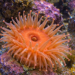
Get a closer look at marine life from local waters. Check the aquarium’s seasonal hours before making it part of a waterfront visit.
Find the aquarium next to Discovery Pier.
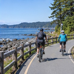
Walk or cycle a stretch of the paved waterfront path with views across Discovery Passage to Quadra Island. Stop at Rotary Beach Park for a picnic.
Start at Rotary Beach Park on the Island Highway or choose another waterfront access point.
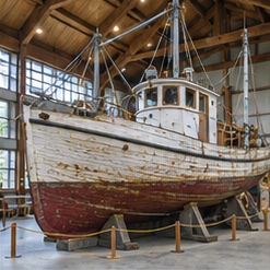
See the restored BCP 45, a wooden fishing vessel once pictured on Canada’s five-dollar bill, and explore exhibits on the working waterfront.
Look for the centre beside Discovery Pier.
Follow the narrow spit along Drew Harbour for beachcombing and views of the Discovery Islands. Bring a picnic and check park conditions before you go.
Take the BC Ferries sailing from Campbell River to Quathiaski Cove, then follow signs toward Heriot Bay and Rebecca Spit. Check return sailings before leaving.
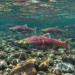
Learn how salmon are raised and released. Salmon viewing changes with the run, so check Fisheries and Oceans Canada’s visitor information before you go.
Follow the signed hatchery access west of Campbell River.
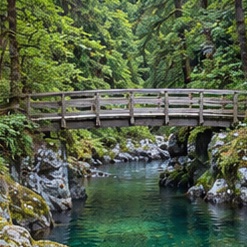
Walk beside the Campbell River for forest, canyon and river views. Check the trail map and current access before committing to a loop.
Use the BC Parks trail map to select your access point. The Quinsam Hatchery is a useful landmark on the south side of the river.
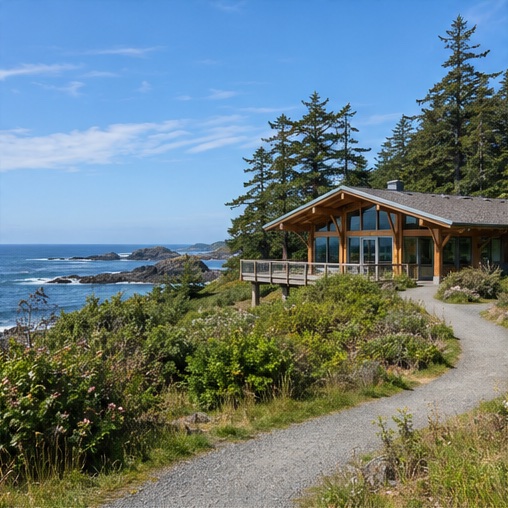
Explore the cultural heritage of the Kwakwaka’wakw at this centre in Cape Mudge. The centre closes seasonally, so check for reopening updates before taking the ferry.
From Quathiaski Cove, head to Cape Mudge and look for the centre on Weway Road.
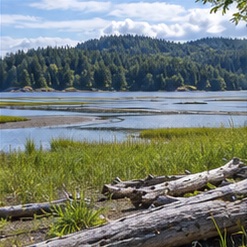
Watch boats on Discovery Passage and look for birds along the Campbell River estuary. It’s a short outing with water on both sides.
Follow Spit Road to Dick Murphy Park.

Take a picnic and look for shells and other beach finds along the shore. Check the tide and use a public beach access.
Drive south toward Black Creek and check the regional district’s beach access map before setting out.

Spend time on the sandy shore at low tide, then explore the park’s forest trails. Check campground availability if you plan to stay overnight.
Drive south on Highway 19A and follow the signs to Miracle Beach Provincial Park. Use the day-use entrance for the beach.

Bring a picnic and spend time by the freshwater beach. Choose shore play or paddling based on conditions and your children’s comfort around water.
Head west of Campbell River and follow McIvor Lake Road to the public beach.
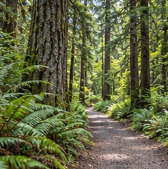
Walk or cycle through second-growth forest and along the Simms Creek watershed on a network of trails within Campbell River.
Pick a trail entrance using the provincial map. The network has several access points.

Climb through forest to rocky viewpoints above the Discovery Islands. Use the trail map to choose a route that suits your group.
Take the ferry to Quathiaski Cove, then use the Quadra Island Trails map to locate the signed trailhead.
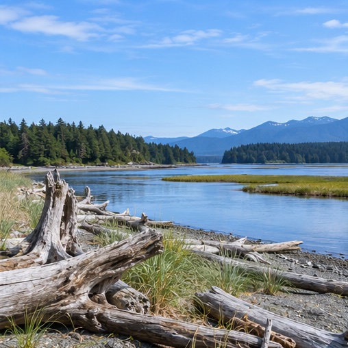
Walk along the coast near Oyster River and pause to watch for shorebirds around the estuary.
Drive south on Highway 19A to Oyster River. Use the regional district trail map to find the public access.
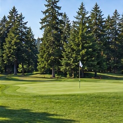
Book a round on a forest-lined course south of Campbell River. Check tee times and course conditions before heading out.
Follow the club’s directions to McGimpsey Road.

Browse seasonal produce, prepared food and work by local makers, then explore downtown around Spirit Square.
Check the market’s current schedule and location before setting out.
Give a wildlife tour its own day, then pair Elk Falls with the downtown waterfront. If you have another day, choose between Quadra Island and the Buttle Lake corridor.
See more things to do in Campbell River or find activities for a trip with kids.
Explore our adventure tours